The San Diego County Bicycle Coalition calls on its members to take the Caltrans District 11 Active Transportation Plan Survey. Caltrans District 11 includes San Diego and Imperial Counties and serves one of the country’s most geographically and culturally diverse regions. District 11 spans across the entire California-Mexico Border from the Pacific coast to Arizona and reaches north from the international border to Orange and Riverside Counties. The District has roughly 1,000 miles of urban freeways and rural highways that interact with a network of active transportation connections.
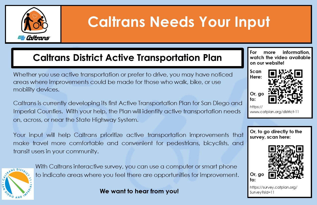
District 11 works closely with cities, the two counties, regional planning organizations, and advocates like the San Diego County Bicycle Coalition to plan, design, and construct projects that enhance bicycle and pedestrian travel. Caltrans District 11 is developing an active transportation plan to identify bicycle and pedestrian improvements on, across, or parallel to the State Highway System (SHS). The SHS, which is generally owned and operated by Caltrans, is made up of urban freeways and rural highways. SHS facilities are classified as State Routes (SR) or Interstates (I). Local highways, such as SR-52 and freeways such as I-8, along with the onramps, off-ramps, overpasses, and underpasses make up what is referred to as Caltrans Right of Way.
Please take the survey and tell Caltrans where you may have experienced challenges as a pedestrian or bicyclist while traveling in Caltrans Right of Way and where you would like to see bicycle and pedestrian improvements in the San Diego area.